High-accuracy drone mapping with orthophotos, elevation models, and detailed 3D site data.
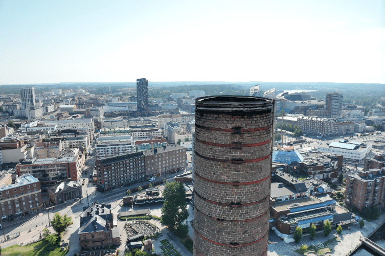
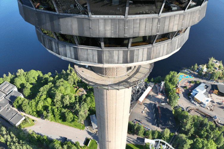
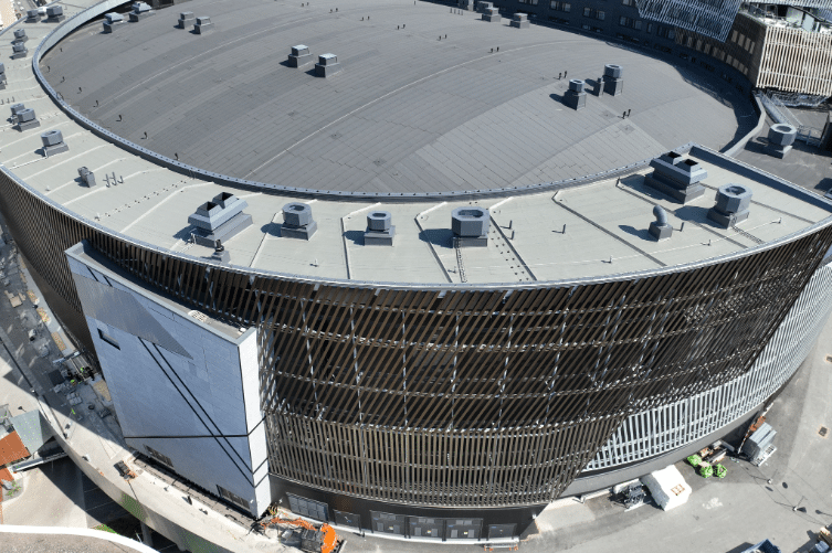
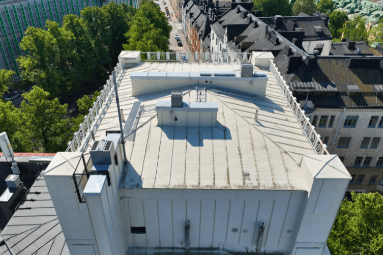
Safe, high-detail inspections of roofs, façades, towers, and industrial structures, without lifts or scaffolding.
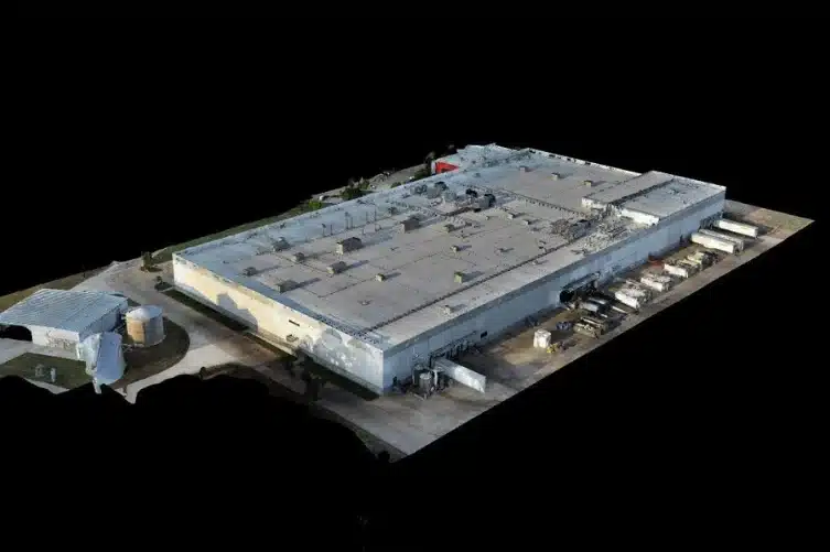
3D mesh models of buildings, sites, and terrain to support design, visualization, and construction planning.
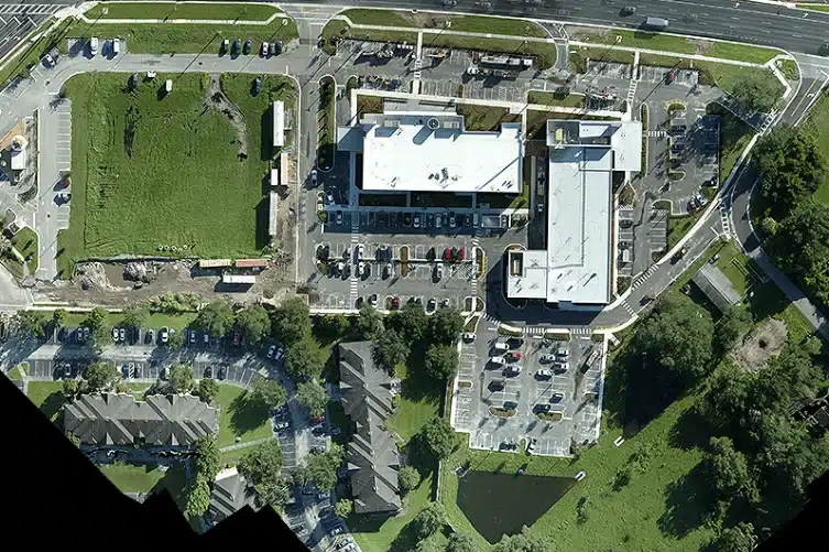
High-quality drone imagery for site overviews, property documentation and project reporting.
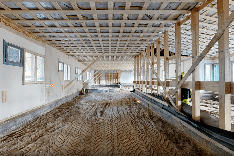
Fast, precise data capture for digital models, E57 point clouds, and nykytilandokumentointi.
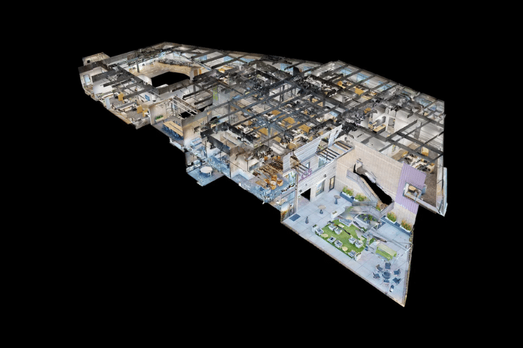
Interactive 3D walkthroughs for remote inspections, progress tracking, and long-term asset documentation.